No products
Categories
No supplier
-
-
AtlasGIS 2018 Geocoding Database
Updated 2017 Geocoding Database for AtlasGIS. Database only.
$495.00Online onlyIn Stock -
-
2017 HMDA GIS Dataset
2017 HMDA Loan Application Records aggregated to U.S. census tracts in a shapefile format.
$249.00In Stock -
2023 Community Reinvestment Act Shapefile
Census Tracts with October 2023 (latest FFIEC release) List of Distressed or Underserved Nonmetropolitan Middle-Income Geographies. License for this dataset is offered on a per-user basis. Includes enhanced MarketBank 2024 financial estimates and BranchInfo branch office counts by services provided.
$1,000.00Online onlyIn Stock -
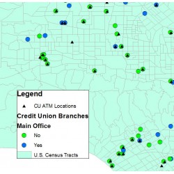
Credit Union Branches and ATMs (National...
Credit Union branch and ATM locations in Esri shapefile format
$2,500.00Online onlyIn Stock -
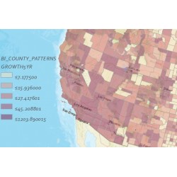
BranchInfo County Patterns
The BranchInfo County Patterns dataset contains a summary of the BranchInfo branch data for every county in the United States.
$149.00Online onlyIn Stock -
-
AtlasGIS 2018 Geocoding Database
Updated 2017 Geocoding Database for AtlasGIS. Database only.
$495.00Online onlyIn Stock -
2017 HMDA GIS Dataset
2017 HMDA Loan Application Records aggregated to U.S. census tracts in a shapefile format.
$249.00In Stock
Custom Data Formats
Did you know that most GIS datasets are downloadable in Esri Shapefile format and/or Esri Geodatabase format but you can request virtually any data format? Just contact us and we will be happy to find the best format to meet your particular needs.


